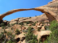
• DSC_9175.jpg
  • IMG_0047.jpg
  • DSC_9177.jpg
  • DSC_9182.jpg
  • DSC_9184.jpg
  • IMG_0056.jpg
  • IMG_0057.jpg
  • DSC_9187.jpg
  • DSC_9189.jpg
  • DSC_9190.jpg
  • DSC_9194.jpg
  • IMG_0068.jpg
  • IMG_0071.jpg
  • IMG_0078.jpg
  • DSC_9210.jpg
  • DSC_9212.jpg
           

17 / 339

IMG 0056

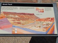
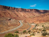
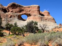
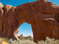
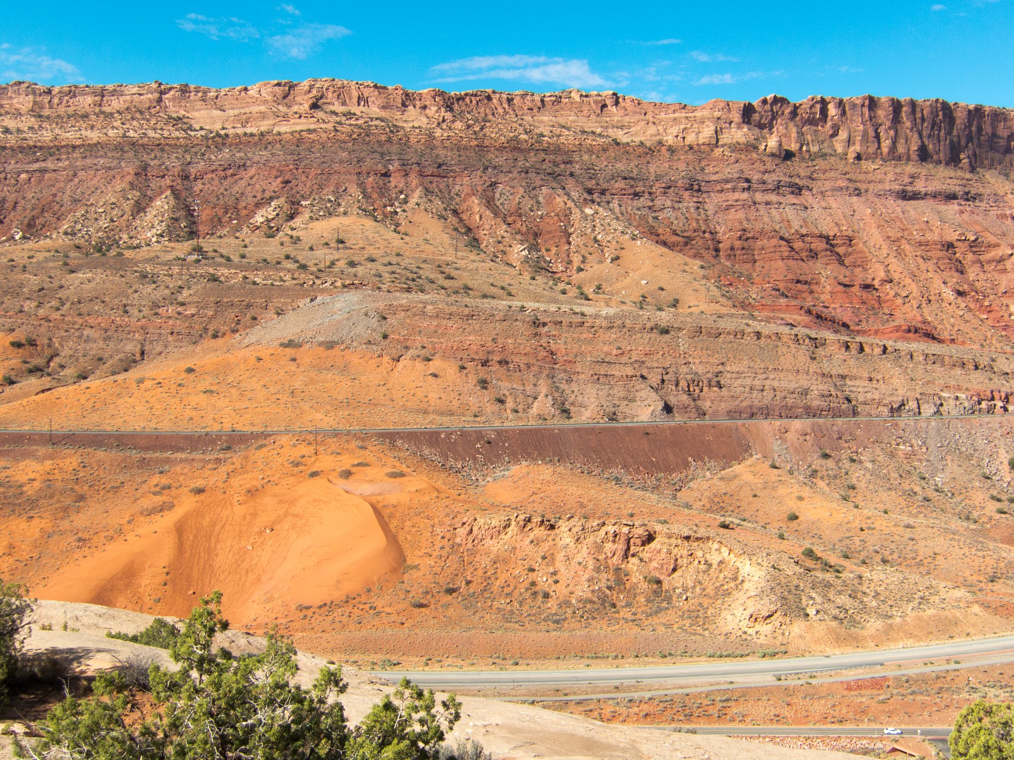
Looking at the geological layers (Wingate, Chinle, Moenkopi, Cutler) exposed by the Moab fault. The Navajo sandstone where we are standing would have been much higher than the top we are looking at before the quake.
IMG 0056